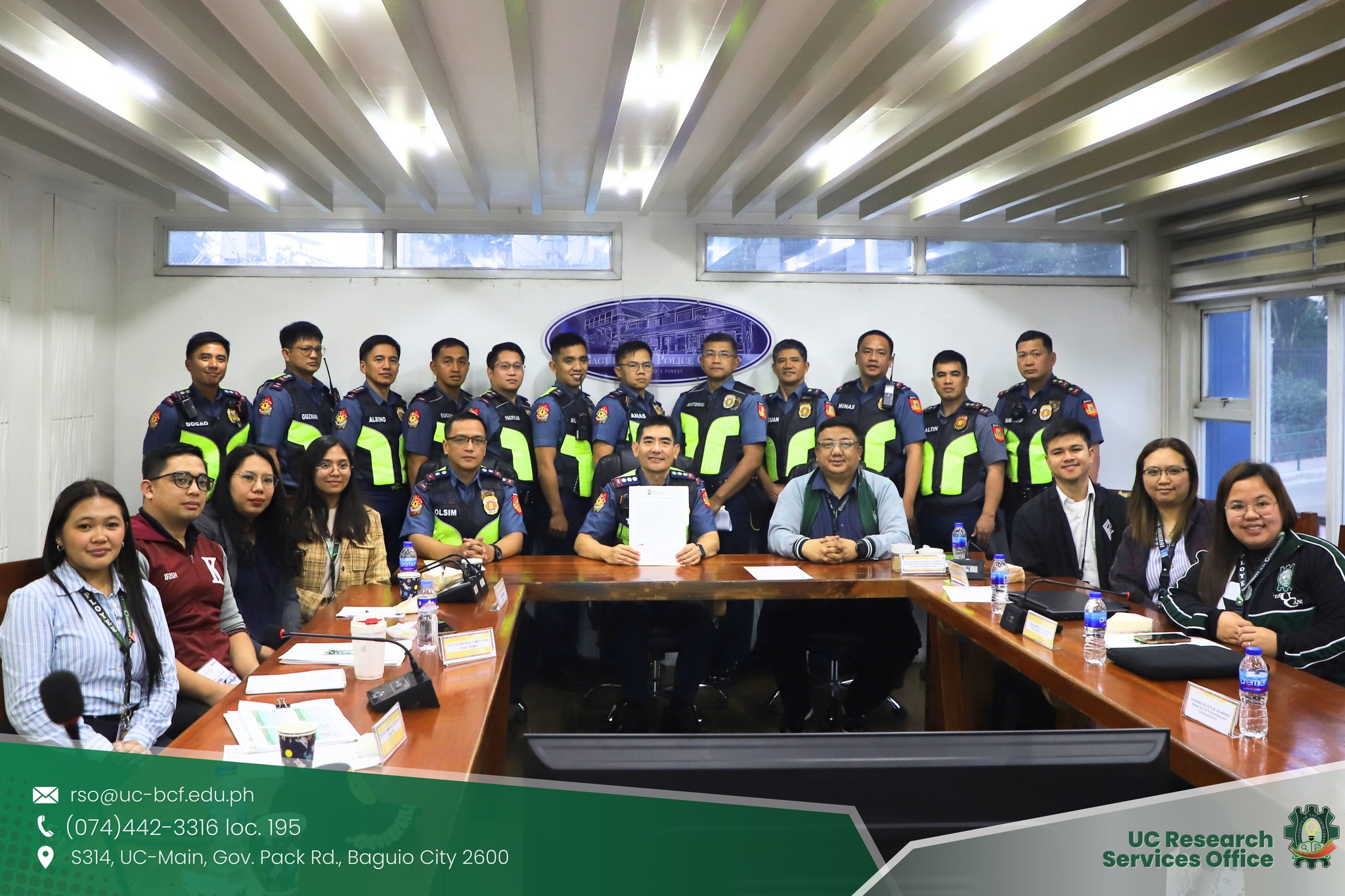
Project G4RS (GIS for Road Safety) was formally presented and officially turned over to the Baguio City Police Office (BCPO) on January 20, 2026, at the BCPO headquarters, marking a major step toward technology-driven road safety and smarter policing.
Titled “GIS for Road Safety: Systematic Data Strategies Applying GIS and Data Analytics to Mitigate Road Accidents in Baguio City,” the project introduced the G4RS Dashboard System, a digital platform designed to support BCPO operations through real-time monitoring, geospatial visualization, analytics, and streamlined reporting. Led by UC RSO Exec. Dir. Engr. Nathaniel Vincent A. Lubrica, the project was funded by the Department of Science and Technology (DOST).
The activity was led by City Director PCOL Ruel D. Tagel, with PMAJ Allen Dogao, Chief of the BCPO Traffic Enforcement Unit, station commanders, and other BCPO personnel in attendance. Mr. Jhyden Jhoe Marx M. Ellana, Information Systems Analyst I of the Management Information Technology Division (MITD), provided technical insights and engaged in discussions on system integration, utilization, and long-term sustainability.
The implementation of Project G4RS supports the United Nations Sustainable Development Goals (SDGs) by advancing safer, smarter, and more accountable public service delivery. The initiative contributes to SDG 3 (Good Health and Well-Being), SDG 9 (Industry, Innovation, and Infrastructure), SDG 11 (Sustainable Cities and Communities), and SDG 16 (Peace, Justice, and Strong Institutions).
Photo: UC Research Services Office (Facebook)